13-02-2020 | di COOPI
Drones in Malawi: an interagency mission to estimate flood damage
Heavy rains hit the Lower Shire Valley in southern Malawi, between the districts of Nsanie and Chikwawa, from 19th to 21st January 2020, thus causing serious damage to crops, houses and livelihoods. 8,402 hectares of fields were destroyed and 32,129 people were affected, 10,609 of whom were homeless and took refuge in the Matsukambiya IDP camp.
Crops capture submerged by the Lower Shire flood in T/A Ndamera
To estimate how much more damage the floods may yet do, the Department of Disaster Management Affairs (DoDMA) convened an interagency assessment committee meeting on 22nd January 2020 where it was agreed that Inter-Agency Assessment Teams would be deployed to support the district councils in:
- verifying the extent of damage,
- identifying realistic options for humanitarian response
- providing clear recommendations to the international community and humanitarian decision-makers on appropriate response interventions.
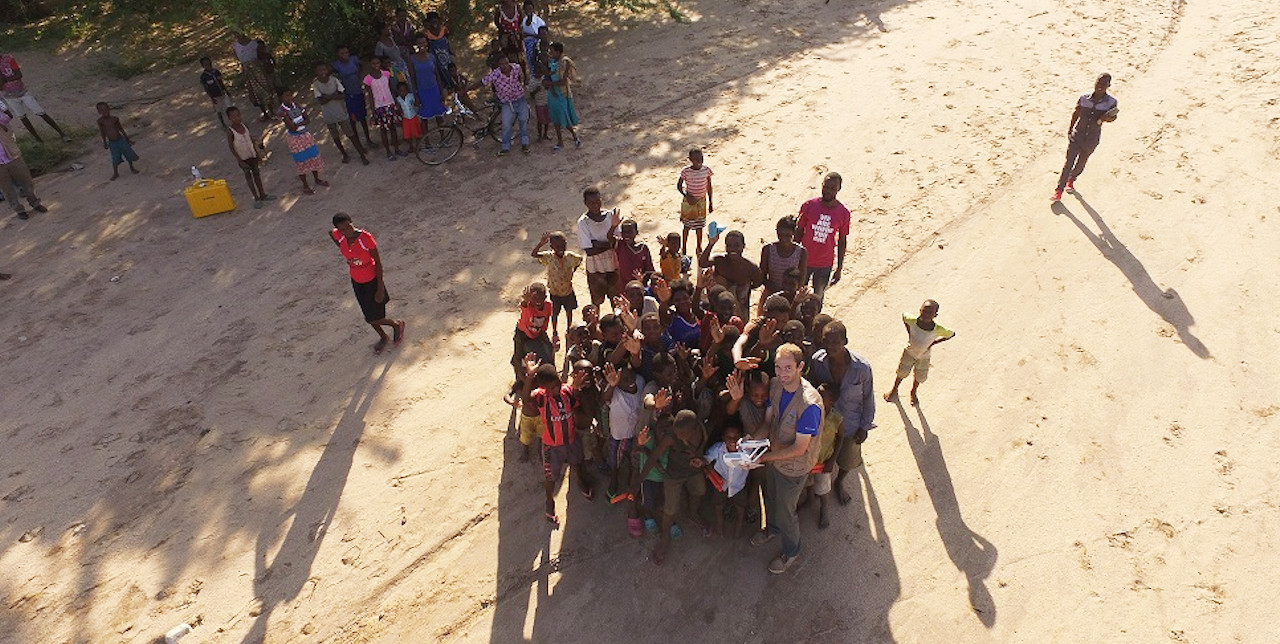
The assessment mission was conducted from 24th to 28th January, 2020 using drones that allowed COOPI staff, composed of GIS expert Jonathan Chambers and COOPI Project Leader in Malawi, Ben Namanya, together with DoDMA and Malawi Red Cross Society (MRCS) staff to process high-resolution images, recording the extent of the flooding and the damage to affected homes and structures.
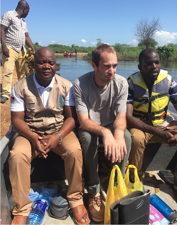
Ben Namanya (COOPI Project Officer), Jonathan Cahmbers (COOPI GIS Expert) & DoDMA (Department of Disaster Management Affairs of the Gov.t of Malawi) officer on the way to T/A Makhanga by boat.
The data collected would help teams on the ground to get a better sense and understanding of the flood extent, households and structures affected, as well as identify the risk profile of the areas in the two districts of Chikwawa and Nsanje districts.
Since 1999, COOPI has been working in Malawi, carrying out disaster risk reduction, food security and energy projects. Working closely with and for the local authorities has since been an asset to improve their preparedness and response capacities to natural disasters.


 Malawi

